Drag to move · scroll to zoom
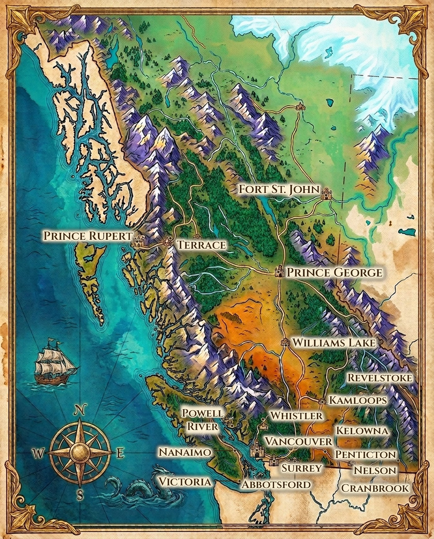
The Illustrated BC Map
We build maps for a living — permit boundaries, jurisdictions, campus locations. So we made one for the wall instead. Real coastline, real coordinates, eighteen real cities. Free to look at, free to download.
Fantasy maps usually play fast and loose with geography. This one doesn't. The coastline, the fjords, Vancouver Island, Haida Gwaii and the Rocky Mountain border all follow real boundary data. Every city was placed by its actual latitude and longitude, not by eye.
Which means you can find your own town on it — and it's where it should be.
Place names set in Cinzel, an open-licence typeface. Artwork and lettering original to this site.